
Montgomery County ZIP Coverage
Postal codes serving Montgomery County span dense capital-city routes, eastern growth near Pike Road, federal installations, and rural communities to the south and southwest. The table is a research worksheet, not a boundary map. Area labels describe general context drawn from the research. A specific residence still needs live verification with USPS, and its city or county status needs GIS or parcel evidence.
| ZIP | General area | Post office or route anchor | Important note |
|---|---|---|---|
| 36013 | Pike Road and eastern county context | Pike Road area | Community label differs from city and county lines |
| 36036, 36043, 36046 | Grady, Hope Hull, and Lapine areas | Rural delivery | Verify the physical county and custodian |
| 36052, 36064, 36069 | Mathews, Pike Road, and Ramer | Named community facilities | A Montgomery County address is not always in Montgomery city |
| 36075, 36093 | Shorter and Wetumpka-area delivery | Edge and cross-county context | Confirm each address rather than infer a county |
| 36104-36111 | Central, south, midtown, west, north, and east Montgomery contexts | Downtown, Cloverland, Carolyn, Capitol Heights, Westside, Eastbrook, Boylston, Green Lantern | Neighborhood names are informal and municipal lines vary |
| 36112-36115 | Maxwell, Gunter, and institutional contexts | Federal or special-use settings | Access and ordinary street delivery require exact verification |
| 36116-36118 | Southeast, east, and south/west Montgomery contexts | South and broad urban routes | Large service areas do not equal neighborhoods |
| 36119-36125 and other listed 361xx codes | Montgomery mailing, box, unique, or organizational uses | Winton Blount, Lagoon Park, Shakespeare, or special routing | Confirm current function in the official tool |
Verified facility anchors include Downtown at 135 Catoma Street for 36104, Cloverland at 4365 South Court for 36105, Carolyn at 1206 Carter Hill for 36106, and Capitol Heights at 2260 Mount Meigs for 36107. These post-office locations help orient a search. They do not draw the service boundary around every address.
Verify Montgomery ZIPs With USPS
The USPS ZIP Code Lookup is the right place to test a full street address or confirm a city-and-state pairing. Enter the address as completely as possible. An apartment, suite, directional, or street suffix can affect the result. If an old document carries a different code, keep both the document date and its printed mailing line until historical routing is checked.
The manifest capture shows the official USPS lookup interface used for current verification.
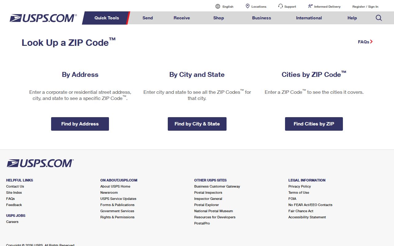
The verified result should be treated as postal evidence for that address, not as proof of its parcel owner or local government.
| Lookup input | What it can establish | What it cannot establish |
|---|---|---|
| Street address, city, state | Standardized address and current postal code | Legal city limit or parcel ownership |
| City and state | Codes associated with the mailing place | Every address served by each code |
| Postal code | Accepted city label or labels | A neighborhood border or county line |
Montgomery ZIPs Beyond City Limits
“Montgomery” can mean a city, county, postal label, metropolitan area, or state-office location. That is the key geography quirk in this ZIP code directory. A Montgomery mailing line may fall beyond the city's corporate limits. Conversely, county communities such as Pike Road, Ramer, Grady, Hope Hull, Mathews, and Lapine use their own postal names while still requiring Montgomery County records for some tasks.
Use postal data to route mail. Use the Montgomery County GIS and online services to inspect parcel and county context. City GIS provides separate layers for Zip_Code, parcels, zoning, council geography, neighborhood services districts, streets, and address points. Those layers can establish which public office has the relevant appraisal, permit, zoning, or council record.
Boundary caution. Never infer that a postal label places an address inside Montgomery city limits; check the parcel and municipal layers first.
Note: A postal code is useful for narrowing a file, but the situs and legal description control many property-record searches.
Montgomery County Rural ZIP Routes
The 360xx codes bring a different search context than the urban 361xx set. Pike Road appears under 36013 and 36064, with 36064 tied to fast-growing eastern suburban development. Mathews uses 36052, Ramer 36069, Grady 36036, Hope Hull 36043, and Lapine 36046 in the research inventory. Shorter's 36075 and Wetumpka-area 36093 can raise a county-edge question.
Rural delivery routes can span wide ground and informal place names. A town label alone should not decide whether a deed, parcel, court, or permit request belongs with Montgomery County or another custodian. Search the full address in USPS, find the physical parcel in GIS, and read the appraisal situs separately from the tax-bill mailing address. When those fields differ, preserve both and state what each one means.
Maxwell-Gunter ZIP Cautions
Maxwell Air Force Base is anchored to 36112 in the verified USPS facility material. The research also flags 36113 and 36114 for Maxwell or Gunter institutional context and 36115 for a state or institutional use. These codes should not be described as ordinary residential neighborhoods without testing the exact address and its access rules.
Military and institutional addresses are weak proxies for lasting residence. A person may receive mail through a duty station, campus, agency, or organizational route without establishing a long-term home there. The Montgomery County ZIP code directory can identify the postal context, but family-history or address research should seek a dated directory, deed, census, or other record that directly supports the claimed link.
Montgomery ZIP Directory Search Steps
Finding people within one broad postal area works best as a narrowing process. The county property portal does not provide a verified public ZIP-wide resident roster, and Alabama VoterView is an identity-matched self-service check rather than a public browse tool. Start with a known address or name. Then use each official source only for the field it actually publishes.
- Verify the complete mailing address in USPS. Save the standardized spelling and code shown for that exact input.
- Locate the physical parcel through county or city GIS. Confirm whether the site is in Montgomery city, unincorporated Montgomery County, or another jurisdiction.
- Check the Montgomery County Revenue Commissioner Citizen Access record by address or owner. Read the situs separately from the mailing address.
- Narrow to a street or parcel rather than treating the whole postal route as a list of households. The Montgomery County street directory covers that address-level method.
- Verify any person with a second dated source. A postal match alone connects mail to an address, not a person to a household.
This sequence keeps postal, geographic, property, and identity evidence separate. It also avoids turning a large delivery route into a false neighborhood boundary.
Montgomery ZIP Search Terms
Postal and census terms often look interchangeable on a map. They are not. The definitions below explain which layer belongs in a Montgomery County postal directory search and why an exact address remains more reliable than a shaded area.
- ZIP
- A USPS routing code for mail delivery. It is not a legal polygon or a neighborhood.
- ZIP+4
- The base five digits plus four more that narrow delivery to a smaller segment, building, or group of addresses.
- PO-box ZIP
- A code or use tied to post-office boxes rather than ordinary door-to-door residential delivery.
- Unique ZIP
- A postal assignment for a high-volume organization or institution, not a general residential area.
- Carrier route
- A mail-delivery sequence within a broader code. It can change and is not a civil boundary.
- ZCTA
- A Census statistical area designed to approximate groups of addresses, not an official USPS service boundary.
ZCTAs Are Not Montgomery Postal Lines
The Census Bureau explains that ZIP Code Tabulation Areas are statistical approximations. USPS routes addresses rather than publishing a matching national set of legal polygons. A ZCTA map is useful for census counts and broad comparisons, but it cannot prove the current postal assignment of a specific home.
The research capture of the Census explanation provides the source context for that distinction.
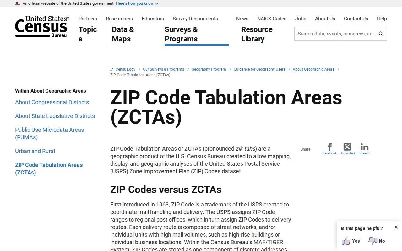
Use the shaded statistical area for Census data, then return to USPS and local GIS when the question concerns one Montgomery County address.
Montgomery Situs and Mailing ZIPs
A parcel record may show both a situs address and a mailing address. Situs means the physical location of the land. Mailing means where the tax notice or contact mail is sent. The owner can receive mail elsewhere, including another postal code or state, so the mailing field does not prove where that person lives.
For property work, record the situs, parcel number, legal description, and owner exactly as the Revenue Commissioner system presents them. Use the mailing line only as a separate contact clue. For postal work, verify each address through USPS. This distinction matters in Montgomery County because dense city parcels, eastern subdivisions, rural tracts, and institutional sites can all produce different combinations of physical and delivery geography.
Historic Montgomery ZIP Evidence
Postal assignments can change. Older USPS routing material points some 36101-03 destinations toward Montgomery 36101, 36120, 36121, and 36123 toward Montgomery 36120, and 36124-25 toward Montgomery 36124. Older material placed the Winton Blount General Mail Facility at 36124-9998, while current retail information uses 36119-2500. Both observations need their dates preserved.
The USPS historical Post Offices by ZIP search accepts three-digit From and To inputs. Its results identify the code, post office, state, date established, and date discontinued. That makes it useful for testing an old letter, directory, or institutional mailing line without treating a discontinued code as current.
The manifest image records the official historical search entry point.
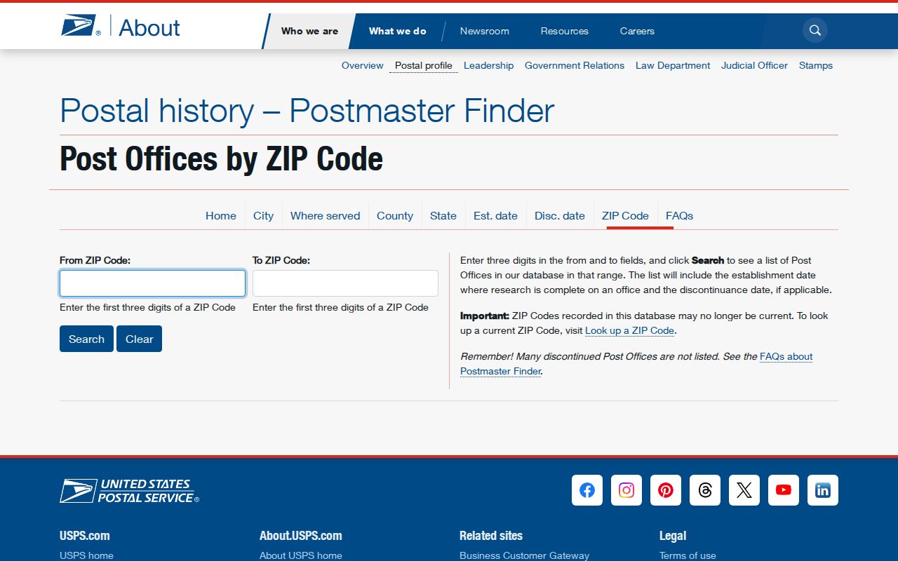
A historical result should be cited with its active dates and then compared with the period document being researched.