
Montgomery Neighbor Lookup Sources
A block lookup begins with geography, then adds records one layer at a time. The Montgomery County GIS identifies parcels next to the target. Citizen Access reports each parcel's assessed owner and distinguishes its physical, or situs, address from the mailing address used for tax correspondence. Deeds can confirm transfers, while directories and public association contacts answer different historic or community questions.
| Source | What It Shows About a Block | Access |
|---|---|---|
| County or City GIS | Parcel shapes, map context, and adjacent tracts | Free interactive viewers |
| Citizen Access appraisal | Assessed owner, parcel, situs, mailing, and tax clues | Free portal or office |
| Probate land index | Transfers tied to mapped owner names and book/page | Free index; image or counter options |
| Voter records | Self-verified status, precinct, and participation facts | Identity gate or lawful list request |
| Reverse directories | Historic listed occupants organized by address | ADAH, County Archives, or Montgomery Room |
| Neighborhood groups | Public officers, contacts, events, and service-area clues | City council and public group sources |
The property roll proves assessment ownership for a given tax period. It does not enumerate every person at an address. A neighborhood group can publish an officer or event contact without releasing a membership roster. Keeping those claims distinct is the central rule for researching a Montgomery County block accurately.
Map Montgomery Neighbors by Parcel
The official Montgomery County Appraisal Online Services page links the parcel viewer, aerial photography, land-and-lot books, and political layers. The City's GIS viewer adds municipal context. Exact tool labels and any radius control were not verified, so the sound method is to click parcels individually rather than assume that an automatic buffer exists.
| Citizen Access Key | Type | Required | Block Use |
|---|---|---|---|
| Owner name | Text | Alternative | Find the current assessed owner under known name forms |
| Property or address | Text | Alternative | Retrieve the known street and house number |
| Parcel or account | Text | Alternative | Open one exact mapped property |
| Tax and payment functions | Links or actions | No | Review available assessment and payment context |
- Search or zoom to the known address and confirm the target parcel's shape.
- Click each parcel sharing a boundary or facing the target across the block.
- Carry the parcel or account number into Citizen Access and record the assessed owner, situs, and mailing address separately.
- Use Probate book/page or owner-name searches only when a transfer or deed history is relevant.
- Expand to the Montgomery County street directory when the question concerns the full named street rather than the immediate block.
This address-to-map-to-roll flow limits mistaken identity. A parcel boundary may not match a fence line or a casual guess from aerial imagery. An account number is more reliable than copying a nearby house number, especially near corner lots, subdivisions, or unincorporated county areas.
Montgomery Block Mailing Records
A tax mailing address is where the bill goes. A situs address is the physical location of the parcel. They may be the same, but a difference can reflect many ordinary arrangements and does not establish where the owner lives. The mailing field should never be turned into a claim that a person occupies the mapped home or another listed address.
A homestead or exemption flag can support an owner-occupancy theory for the relevant tax year, yet it is not conclusive. Dates matter. The parcel may have changed hands, an exemption may lag, or an estate may still appear in the record. A deed confirms ownership transfer, not every person who lived on the land.
- Parcel
- A mapped tract linked to an appraisal account and legal description.
- Situs address
- The physical location used to identify the parcel.
- Mailing address
- The address selected for tax notices and other correspondence.
- Legal description
- The lot, block, subdivision, or metes-and-bounds text that identifies land despite street changes.
Note: Assessed ownership can identify a parcel owner, but it cannot reveal all relatives, renters, guests, or other occupants on the block.
VoterView Is Not a Block Roll
Alabama Votes VoterView asks for first name, last name, and date of birth. It confirms information for the registrant who supplies those details. Its polling-place search accepts an address, city, and ZIP, but that mode returns election geography rather than a list of people around the address.
The Montgomery County Board of Registrars maintains registration records and the precinct list. Alabama law also provides a formal voter-list request route, subject to cost, restricted fields, and protected-voter rules. Full dates of birth, identifiers, application material, and protected details are not public. Voter participation means a person took part in an election; it does not disclose a ballot choice.
Not a block roll. VoterView is an identity-matched self-check. It cannot be used to browse every Montgomery County neighbor on a street.
Montgomery Neighborhood Contact Layer
The Montgomery City Council district pages publish a broad inventory of named neighborhood and civic groups. These names help locate a public organizational contact or map a likely service area. They do not prove current membership, occupancy, or exact boundaries. Neighborhood Services can help confirm whether a group is active and provides material for starting an association.
Districts 2 and 4
Publicly listed groups include Boylston Community, Montgomery East, Carver Park, Greater Washington Park, and Western Hills. Use the district page to find a public civic contact or event.
District 6
Belle Meade, Greater Bell Road, Macedonia, and Taylor Lakes/Sagestone are among the published names. Neighborhood Services can help check current group activity.
Districts 8 and 9
Avalon Park, Deer Creek, Sturbridge, Beauvoir HOA, Copperfield, and Wynlakes appear in the council inventory. Treat these as public organization leads, not boundary proof.
Secretary of State entity records may confirm an incorporated HOA's legal name, status, and registered agent. The agent is the entity's filing contact, not a list of block residents. Congregation, club, watch, and association rosters remain private unless the organization affirmatively publishes a contact for public use.
Current building facts follow another channel. A City request for permits, certificates of occupancy, inspections, zoning, or code reports must identify the exact address and follow the City's fee procedure. Those records may date work or name a public applicant. They still do not supply a household list. For an unincorporated parcel, first use GIS to establish jurisdiction and then ask the responsible county office which series it keeps.
Historic Montgomery Block Records
Reverse, or criss-cross, directories organize listed occupants by address rather than only by surname. ADAH and the Montgomery County Archives document cross-reference directories from roughly the 1980s through the 2000s, including a Greater Montgomery, Prattville, and Wetumpka run for 1993 through 1997. The Montgomery Room also holds city directories under restricted, noncirculating access.
A historic block search records the street spelling and house number used in the target year, checks each nearby address, and copies the abbreviation key. The directory entry shows a listed occupant at publication time. It does not prove deed ownership or include every person in the home. Compare the directory with a census year, deed, obituary, or estate file when identity matters.
Older blocks may need the County Archives' cadastral maps, equity tax dockets, and ADAH maps. These sources can connect an old intersection or number to a modern parcel. No authoritative Montgomery-wide renumbering year was found, so a missing address should go to archives staff instead of being explained with an invented citywide event.
Montgomery Community Safety Records
Official public-safety tools have narrow statutory purposes and should not be treated as general resident directories. The Alabama Law Enforcement Agency Community Information Center provides the state's public registry entry point. Public dissemination can vary because juvenile, Youthful Offender, and out-of-state status rules affect what appears. Absence from the public interface is not proof that no record exists.
The assigned manifest capture comes from the official ALEA Community Information Center.
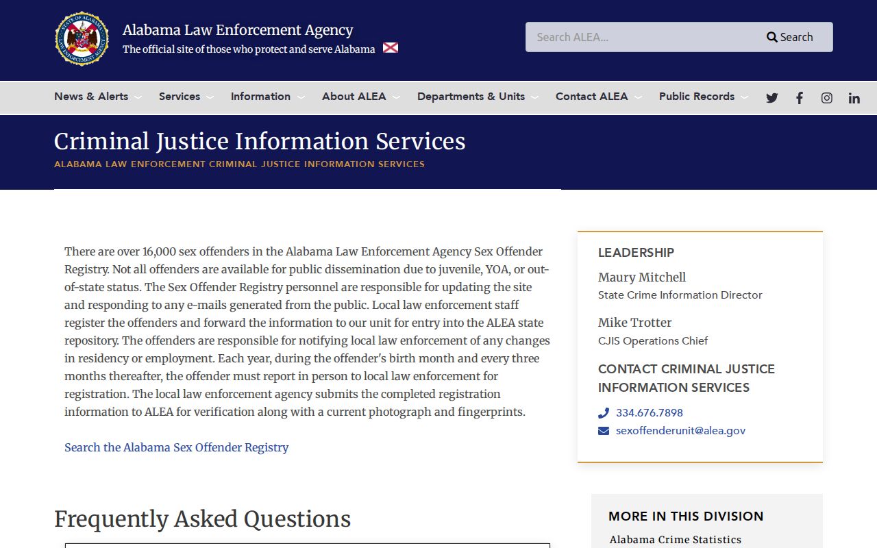
The screen represents an official safety-resource entry point, not a complete household roll. Read all use warnings, verify any result at its source, and do not infer facts about nearby parcels or people from a single map or name match.
For current custody information, county detention and Alabama corrections systems cover different groups. A booking is not a conviction, and a current roster changes. When a court outcome matters, compare the case with the correct Montgomery clerk and disposition rather than drawing a conclusion from an arrest or registry-adjacent search.
Official and Commercial Neighbor Tools
Official sources are split because each custodian keeps a different fact. The GIS maps land, the appraisal roll reports assessment ownership, Probate records transfers, and a council page identifies public community contacts. Commercial neighbor tools compile material from many places. They may lag a move, merge same-named people, or repeat an error from another compiler.
| Measure | Official Montgomery Sources | Commercial Compilers |
|---|---|---|
| Authority | Custodian for a defined public record | Secondary compilation |
| Block detail | Parcel, assessed owner, filing, or public contact | Combined identity claims of mixed age |
| Correction | Request correction from the responsible office | Use the provider's correction or suppression route |
| Best role | Confirm the specific fact the office keeps | Unverified lead only |
Correct an error at the official source first. Then ask any downstream compiler to update or suppress its copy. Alabama has no verified comprehensive data-broker deletion statute or broad substitute-address program, so each published commercial process must be handled on its own terms and checked again later.
Montgomery Neighbor Lookup Privacy
Many people on a block will not appear in the property roll. Renters, relatives, children, and other occupants are not listed merely because they live at an assessed parcel. Utility account data, DMV addresses protected by the federal Driver's Privacy Protection Act, juvenile files, sealed cases, and private association rosters are not public neighbor directories.
Alabama provides voter-list suppression for domestic-violence victims and for specified judges, prosecutors, law-enforcement officers, legislators, and spouses. Under Act 2021-335, a protected public voter-list entry retains only the name. Do not try to work around a missing or shielded address by combining unrelated records. Public access does not erase a person's safety interest.
Lawful use. Research Montgomery County neighbors only for lawful personal and civic reasons. Never use an address, map, roster, or record to stalk, harass, threaten, or harm anyone.